PLAN YOUR TRIP
per person
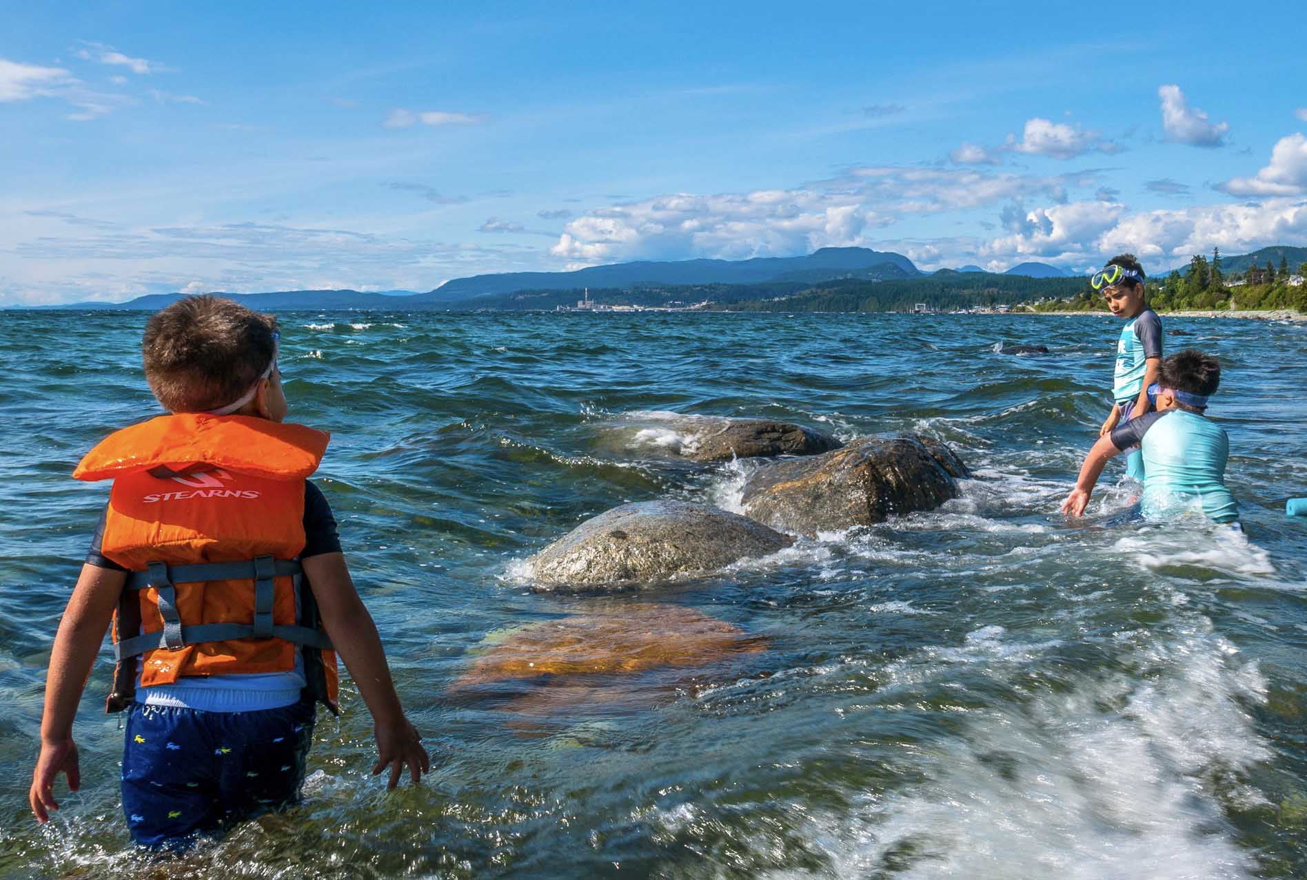
The City of Powell River lies along the shores of the Georgia Strait at the heart of the Malaspina Peninsula. A deep inlet separates the area from the rest of the British Columbia mainland, resulting in a rare unspoiled natural beauty.
From Vancouver follow the Sunshine Coast route for 145 km/90 miles. Complete your journey with a 50-minute ferry ride between Saltery Bay and Earl’s Cove. The road, which runs along the coast from Saltery Bay in the south to Lund in the north, is the northernmost portion of Highway 101, the world’s longest highway, which begins 14,880 miles/24,000 km to Quellón at the south end in Chile.
By Car:
Powell River is on Highway 101, about 4-5 hours north of Vancouver. Although the city is on the mainland and there are roads in the area, it is not connected to the Provincial Highway network and will require a couple of ferry rides from Vancouver (Horseshoe Bay to Langdale and Earl’s Cove to Saltery Bay – note, you only have to pay once on the way up and once on the return) or a single ferry if coming from Courtenay/Comox to get there.
By Ferry:
BC Ferries offers sailings directly to Powell River from the Little River ferry terminal in Comox on Vancouver Island, and from Earl’s Cove to Saltery Bay (south of Powell River city limits) on the Lower Sunshine Coast.
For a schedule of sailing times please click here.
By Air:
The Powell River Airport (YPW) is centrally located within city limits. Pacific Coastal Airlines offers daily flights to Powell River.
Private charter flights are also available.
By Boat:
Powell River and its surrounding communities host several harbours and marinas, as well as water taxi services to some island communities and marine attractions.
Harbours and Marinas
![]() Lund Harbour & Finn Bay Harbour
Lund Harbour & Finn Bay Harbour
![]() The Shinglemill Marina (Powell Lake)
The Shinglemill Marina (Powell Lake)
Water Taxi Services
Getting Around:
Once in Powell River, travel by automobile is recommended, but options include public transit, taxi, biking and walking.
Transportation Services
Automobile Rental Services
![]() Practicar Car and Truck Rentals
Practicar Car and Truck Rentals
![]() Tiskwat Motors (available through Turo)
Tiskwat Motors (available through Turo)
Bike & eBike Rental Services
Getting Around in the Backcountry:
Looking for an adventure on one of Powell River’s wilderness attractions, such as the Sunshine Coast Trail or qathet Canoe Route? Travel by 4×4/AWD automobile is recommended, but there are backcountry transportation options as well.
From Our Gallery
Be our guest - See it for yourself
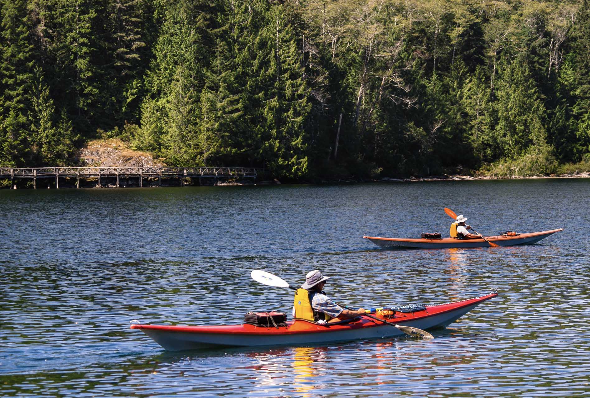
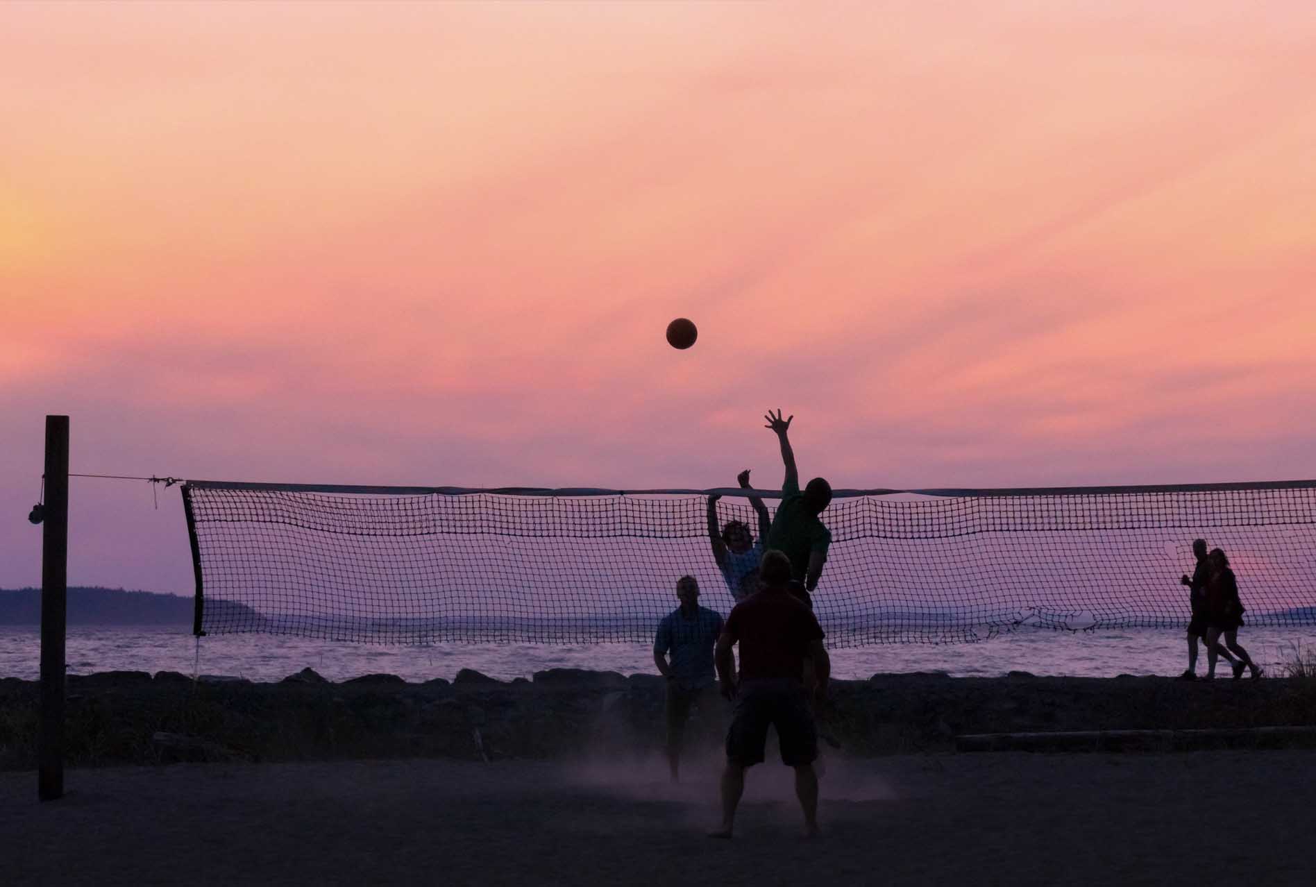
On the Sunshine Coast of British Columbia, where endless green mountains meet sheltered Pacific Ocean waters, Powell River provides a stimulating blend of outdoor adventure and cultural amenities. Originally founded as a resource extraction centre – once home to the world’s largest pulp and paper mill – Powell River now offers adventurers countless opportunities for kayaking, canoeing, rock climbing, golfing, boating, hiking, biking, fishing, and scuba diving. This area is host to world-class art galleries, tremendous dining opportunities, and memorable events and festivals. On the doorstep of both Vancouver and Vancouver Island, the Powell River region offers an array of experiences for travelers of all kinds, no matter the season. Experience the legendary Sunshine Coast Trail and Powell Forest Canoe Route, rock-climb the Eldred Valley, snowshoe in the Knuckleheads; this is the adventure destination you’ve long been waiting for. č̓ɛč̓haθɛč ʔa taθ qʷal ʔatəms gɩǰɛ. "Welcome to our territory."